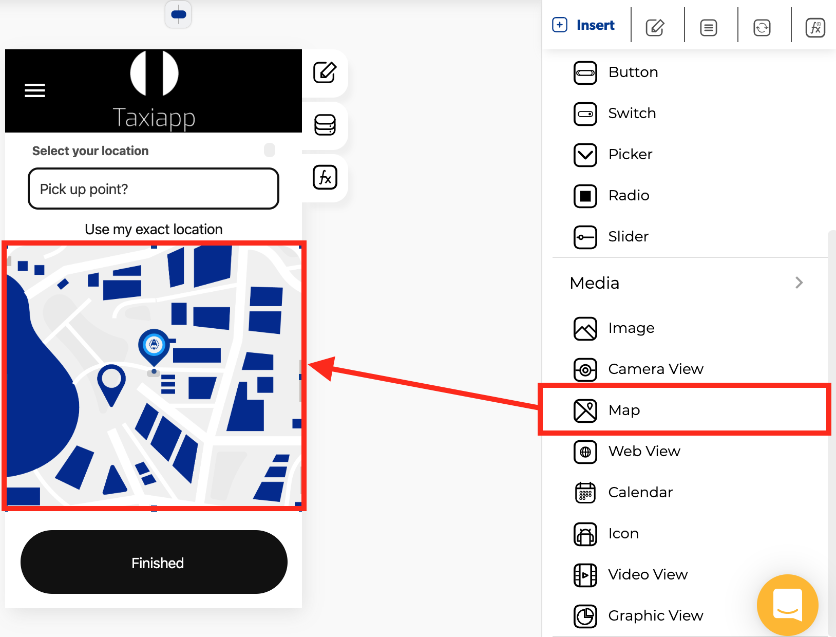
Map
🎨 Styles
- Dimensions
- Width: set how wide the map element is using.
- Height: set how tall the map element is using.
⚙ Properties
- Generic properties
- Enable skeleton loaders: this tool provides an indication to the user that something is coming but not yet available on the map element.
- Control is hidden: hide the map element from the screen.
Info
The skeleton loader component provides a user with a visual indicator that content is coming/loading. This is better received than traditional full-screen loaders.
- Specific Properties
- Latitude: the angular distance, in decimal degrees of a point north or south of the Equator.
- Longitude: the angular distance, in decimal degrees of a point North or South of the prime meridian.
- Zoom: The scale of the map is the ratio of the distance on the map to the distance on the ground.
- Is Disabled: this option restrict the latitude and longitude change.
- Map pointer: Identifies a location on a map. It is a virtual flag in the ground.
- Background image: this property set one background image for map element.
Success
1.- On your computer, open Google Maps.
2.- Touch and hold an area of the map that isn't labeled. You'll see a red pin appear.
3.- In the search box at the top, extract your coordinates. Here is an example: https://www.google.com/maps/place/Apphive/@19.2853148,-99.6548802,17z/data=!3m1!4b1!4m5!3m4!1s0x85cd89c296ca5367:0xe64e74e07148c6d7!8m2!3d19.2853097!4d-99.6526915
👆 Events
- On region change: called when ****update your region controlled state values ****with ****has changed.